E-Dissertationen: Search
Now showing items 1-10 of 16
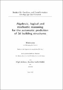
Algebraic, logical and stochastic reasoning for the automatic prediction of 3d building structures
(2021-01-26)
3D building models are nowadays an important prerequisite for many applications such as rescue management or navigation tasks. However, most approaches for the automatic reconstruction of buildings rely on high-resolution ...
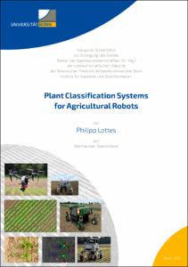
Plant Classification Systems for Agricultural Robots
(2021-03-16)
Due to a continually growing world population, the demand for food and energy increases continuously. As a central source of food, feed, and energy, crop production is therefore called upon to produce higher yields. To ...
Exact Optimization Algorithms for the Aggregation of Spatial Data
(2020-12-16)
The aggregation of spatial data is a recurring problem in geoinformation science. Aggregating data means subsuming multiple pieces of information into a less complex representation. It is pursued for various reasons, like ...
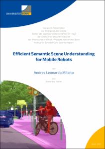
Efficient Semantic Scene Understanding for Mobile Robots
(2021-12-16)
Over the last few years, robots have been slowly making their way into our everyday lives. From robotic vacuum cleaners picking up after us already working in our homes, to the fleets of robo-taxis and self-driving vehicles ...
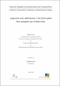
Large-scale mass redistribution in the Earth system from synergistic use of Swarm data
(2022-01-26)
Long and consistent time series of large-scale mass redistribution in the Earth system are important in many scientific research areas. The dedicated Gravity Recovery And Climate Experiment (GRACE) and Gravity Recovery And ...
Broken Roads and Broken Laws: How Infrastructure and Law Enforcement Shape Amazonian Deforestation Frontiers
(2020-06-29)
Deforestation of tropical rainforests contributes significantly to global climate change and accelerated biodiversity loss. To mitigate these impacts, the goal of drastically reducing tropical deforestation has been a ...
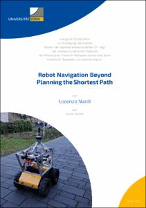
Robot Navigation Beyond Planning the Shortest Path
(2021-04-16)
Over the last decade, the demand for autonomous mobile robots has been growing continuously. Applications range from mobile manipulators operating on factory floors to autonomous cars driving in urban environments. A common ...
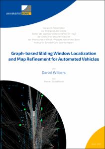
Graph-based Sliding Window Localization and Map Refinement for Automated Vehicles
(2021-10-12)
Localization is an essential task in automated driving and advanced driver assistance systems. The precise location of a vehicle is required for extracting information from a map about the vehicle's environment. The map ...
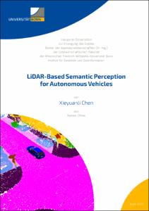
LiDAR-Based Semantic Perception for Autonomous Vehicles
(2022-09-08)
Scene understanding is one of the fundamental building blocks that enable mobile systems to achieve autonomy. It is the process of perceiving, analyzing, and elaborating an interpretation of a 3D dynamic scene ob- served ...
Automatische, hochaufgelöste 3D-Phänotypisierung von Trauben und Beeren der Weinrebe unter Feldbedingungen
(2020-03-03)
Pilzwiderstandsfähige Sorten (PIWI) sind eine der Innovationen im Weinbau. Das Projekt Novel Viticulture Systems for sustainable production and products (NoViSys) kombiniert die PIWIs zur Effizienzsteigerung mit einem neuen ......
Automatic, high-resolution 3D-phenotyping of grapevine bunches and berries under field conditions
Fungus resistant grape varieties (PIWI) are one of the innovations in viticulture. The project Novel ......
Automatic, high-resolution 3D-phenotyping of grapevine bunches and berries under field conditions
Fungus resistant grape varieties (PIWI) are one of the innovations in viticulture. The project Novel ......


