Landwirtschaftliche Fakultät: Suche
Anzeige der Dokumente 1-4 von 4
Geodäsie und Quantenphysik
(2007)
Im Jahr 1880 äußerte HELMERT fest, "Geodäsie ist die Wissenschaft von der Ausmessung und Abbildung der Erdoberfläche". Mit diesem Zitat werden viele geodätische Arbeiten begonnen, und auch für den vorliegenden Beitrag ...
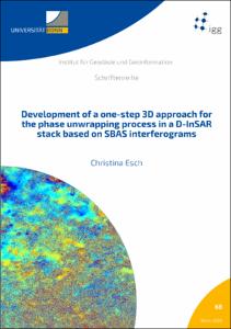
Development of a one-step 3D approach for the phase unwrapping process in a D-InSAR stack based on SBAS interferograms
(2020)
Differential Interferometric Synthetic Aperture Radar (D-InSAR) is a unique technique to detect and map deformations of the Earth's surface over large temporal and spatial scales. Processing a whole stack of multitemporal ...
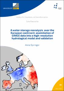
A water storage reanalysis over the European continent: assimilation of GRACE data into a high-resolution hydrological model and validation
(2019-04-18)
Continental water storage and redistribution within the Earth’s system are key variables of the terrestrial water cycle. Changes in water storage and fluxes may affect resources for drinking water and irrigation, lead to ...
Strategies for the Empirical Determination of the Stochastic Properties of Terrestrial Laser Scans
(2023-06-28)
Terrestrial laser scanners (TLS) are suitable for the surface approximation of objects and their geometric changes due to the temporally and spatially high-frequent data acquisition. However, precise geodetic engineering ...