E-Dissertationen: Search
Now showing items 1-10 of 40
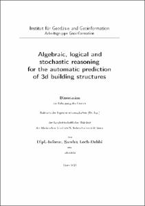
Algebraic, logical and stochastic reasoning for the automatic prediction of 3d building structures
(2021-01-26)
3D building models are nowadays an important prerequisite for many applications such as rescue management or navigation tasks. However, most approaches for the automatic reconstruction of buildings rely on high-resolution ...
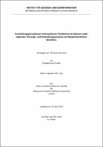
Entwicklungsperspektiven metropolitaner Peripherien im Rahmen stadtregionaler Planungs- und Entwicklungsprozesse am Beispiel Nordrhein-Westfalen
(2012-08-31)
Die zurückliegenden Dekaden haben sich durch eine enorme Zunahme der Entwicklungsdynamiken von gesellschaftlichen, ökonomischen und ökologischen und daraus hervorgehend räumlichen Entwicklungen charakterisiert. Ein prägnantes ...
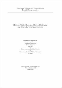
Robust Wide-Baseline Stereo Matching for Sparsely Textured Scenes
(2011-08-19)
The task of wide baseline stereo matching algorithms is to identify corresponding elements in pairs of overlapping images taken from significantly different viewpoints. Such algorithms are a key ingredient to many computer ...
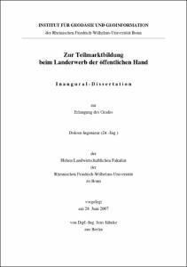
Zur Teilmarktbildung beim Landerwerb der öffentlichen Hand
(2007)
Die vorliegende Arbeit hat das Ziel, eine Bestandsaufnahme, eine Analyse sowie eine Bewertung der Teilmarkttheorie beim Landerwerb zukünftiger Gemeinbedarfsflächen durchzuführen. Da der Begriff des Teilmarktes nicht normiert ...
Methodische Aspekte der Generalisierung von Geodaten
(2006)
Diese Arbeit stellt die Generalisierung in der Kartographie auf eine theoretische Grundlage im Zusammenhang mit mathematischen Strukturen. Ausgegangen wird von einem erfolgreich entwickelten Verfahren zur Modellgeneralisierung ...
Quality aspects of short duration VLBI observations for UT1 determinations
(2006)
Today geodetic Very Long Baseline Interferometry (VLBI) is the most important technique for the determination of all components of earth rotation. Among all parameters describing the current earth rotation relative to a ...
Grouping Uncertain Oriented Projective Geometric Entities with Application to Automatic Building Reconstruction
(2007)
The fully automatic reconstruction of 3d scenes from a set of 2d images has always been a key issue in photogrammetry and computer vision and has not been solved satisfactory so far. Most of the current approaches match ...
Zur Bestimmung des cm-Geoids und dessen zeitlicher Variationen mit GRACE
(2007)
In dieser Arbeit wird eine Analysemethode unter Verwendung der dynamischen Methode zur Berechnung hochgenauer und hochauflösender Schwerefeldmodelle in Form von Kugelfunktionskoeffizienten auf der Grundlage der neuartigen ...
Experimentelle und numerische Untersuchungen zur Bestimmung gravimetrischer Gezeitenparameter im GeoObservatorium Odendorf
(2007)
Ziel der Untersuchung ist die Bestimmung der gravimetrischen Gezeitenparameter im GeoObservatorium Odendorf mit einer Maßstabsgenauigkeit von etwa 1‰ und einer Phasensicherheit der Hauptpartialtiden von etwa 0°,01. Dies ...
Methodische Probleme bei der Erstellung von Unkrautverteilungskarten mit Geoinformationssystemen (GIS)
(2005)
Die vorliegende Arbeit befaßt sich mit den methodischen Problemen, die bei der Erstellung von Unkrautverteilungskarten mit Geoinformationssystemen (GIS) auftreten können. Im Vordergrund steht dabei die Frage nach der ...


